
Phone number on your account
1. When creating an account
The last step of sign-up asks for a name, a phone number and a password. The flag next to the field confirms which country the number was read as.
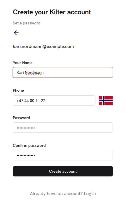
The sign-up form, with the phone number entered as +47 44 00 11 22.
2. Adding one to an account you already have
Open the user menu and choose Profile. The Phone field is flagged in red until a valid number is saved.
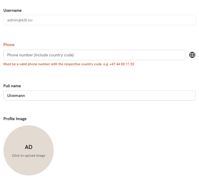
Profile with no phone number set. The globe means no country has been recognised yet.
Type the number with its country code and choose Update profile. The globe is replaced by the country flag once the number is complete.
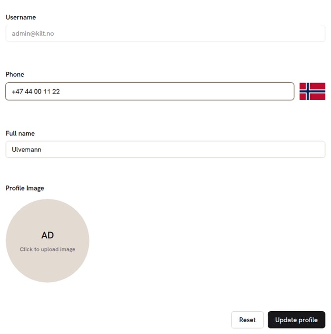
Example of a valid Norwegian number.
3. The reminder
Until a number is saved, a red dot sits on your avatar in the sidebar and next to Profile in the menu. It disappears as soon as the profile is updated.
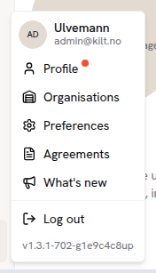
The user menu with the reminder dot.
GNSS system on file uploads
Every geodata file you upload to a field now records which GNSS system produced it, so route making can be tailored to that system. Kilter Farm asks once per upload and remembers the answer for your organisation.
1. Uploading a single file
Open a field, go to the Files tab and choose Upload file. Pick the GNSS system, then choose the file. Upload stays greyed out until both are set.
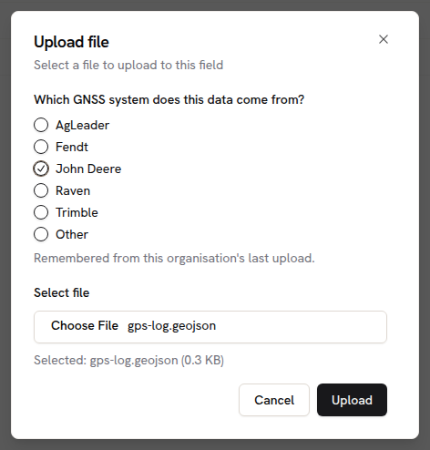
The upload dialog. "Remembered from this organisation’s last upload" means the answer was carried over — change it whenever the data came from something else.
2. When your system is not on the list
Choose Other and type the name, for example Localizer RTK 4000. Up to 80 characters. Kilter sees these write-ins and adds the common ones to the list.
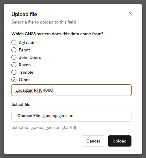
Other opens a free-text box. Upload stays greyed out until you have typed a name.
3. Dropping several files at once
Drag files straight onto the field page. One answer covers the whole drop, and the button confirms what it is about to record.

Three files dropped on North Paddock, all tagged Trimble.
4. Starting a workspace from new files
New Workspace → Upload files asks for the GNSS system before anything is uploaded, then carries on to the coordinate reference system as before.
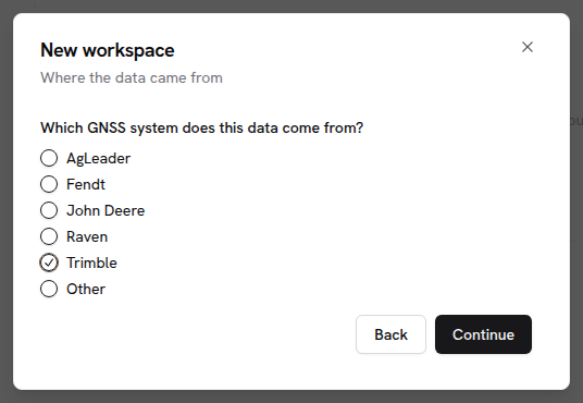
The new step in the New workspace dialog.
5. Seeing what was recorded
The Files tab has a GNSS system column. Write-ins show the name that was typed rather than "Other", and the column sorts like any other.
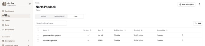
Files tab with the GNSS system column.